Generations have enjoyed the varied pleasures of Virginia’s most famous river.

James State Scenic River
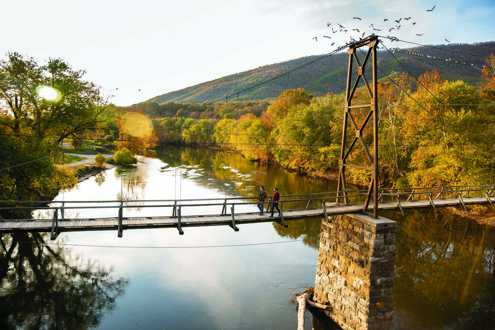
Buchanan Swinging Bridge Virginia Living Water Life
The Buchanan Swinging Bridge spanning the James River.

Hughes River brook trout fishing
Fishing for brook trout on the Hughes River.
The James State Scenic River (formerly the Scenic Upper James River) runs 59 miles from the confluence of the Jackson and Cowpasture rivers in northern Botetourt County, through Rockbridge County, to Snowden, in Amherst County.
This first reach of Virginia’s mighty James River also comprises the Upper James River Water Trail, a 63-mile, leisurely, multiday paddle through Class I and II rapids. It lies deep in the Blue Ridge Mountains and ends below Balcony Falls, inside the James River gorge. Campgrounds are spaced well for overnight trips. From Eagle Rock eastward, the river runs alongside the remains of stone locks and diversion dams—ruins from the 1851 James River and Kanawha Canal. The piers of the Buchanan Swinging Bridge also date from 1851, when it was a toll bridge.


